
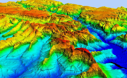
Digital Terrain Models (DTM) sometimes called Digital Elevation Models (DEM) is a topographic model of the bare Earth that can be manipulated by computer programs. The data files contain the elevation data of the terrain in a digital format that relates to a rectangular grid. Vegetation, buildings, and other cultural features are removed digitally – leaving just the underlying terrain.
Vinton Rayz Technologies drones are equipped with geometrically calibrated cameras that enable us to obtain the heights of the terrain under survey. After filtering objects such as buildings, the drone images can be used to create DTMs with each pixel containing 2.5D information (X, Y, and Z value of the highest altitude).
We create high-quality Digital Elevation Models (DEMs) to support specialized applications such as 3D modeling, volumetric calculations, and powerline as-built surveys. We also generate fully detailed Digital Terrain Models (DTMs) for contour generation, orthophoto rectification, and flood plain mapping.